
Research a route around Hungerburg
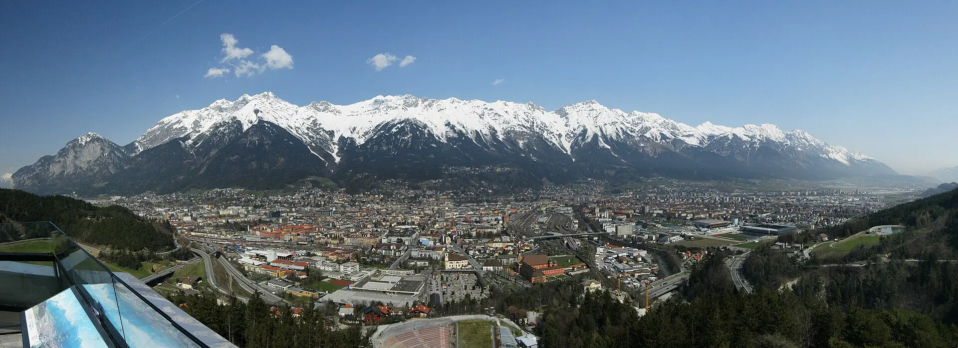
The wooded slopes around Hungerburg are an area to look at if you want to walk above Innsbruck without immediately choosing a high mountain route. Use official local hiking information to select a specific signposted path that suits your plans.
This entry gives a starting area for your research. It has no verified trail track, difficulty grade, distance or completion time. Check those details with the tourism authority and take a suitable map before heading out.
Prepare for the conditions
Wear appropriate footwear, carry layers and water, and check that the path is open. Snow, ice or storm damage can affect lower routes too. The hiking planning guide covers preparation. The map pin marks an approximate starting area and should not be used for route navigation.